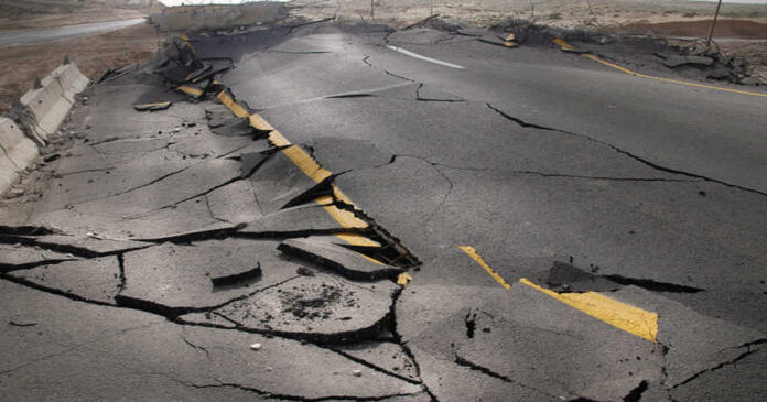
DUSHANBE: The US Geological Survey said that a 6.8-magnitude earthquake struck eastern Tajikistan on Thursday.
The earthquake occurred at a depth of approximately 20.5 kilometers at 5:37 am local time (00:37 GMT) (12.7 miles).
According to the USGS, “little or no population” would be at risk from landslides caused by the earthquake.
The eastern province of Gorno-Badakhshan, which borders China and Afghanistan and is semi-autonomous, is where it appeared to have originated. It is located around 67 kilometers from the small mountain village of Murghob.
About 20 minutes after the original earthquake, a 5.0-magnitude aftershock struck the region, followed by a 4.6-magnitude quake.
The imposing Pamir Mountains border the sparsely populated region where Lake Sarez is located.
An earthquake in 1911 created one of Tajikistan’s largest lakes, a body of water with an aquamarine color.
The experts have warned that a breach of the natural dam in the Pamir mountains behind Lake Sarez would have disastrous consequences.
Tajikistan is particularly vulnerable to natural disasters and has a long history of floods, earthquakes, landslides, avalanches, and large snowfalls. This is true for much of the rest of Central Asia as well.
Nine people perished in an avalanche on February 15 in Gorno-Badakhshan earlier this month, while another person perished in an avalanche on a highway close to the capital Dushanbe the same day.

